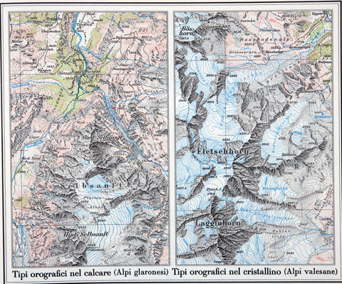
Switzerland never built an empire, so the technology of cartography (D|F|I) was developed late compared to other nations. The innovator was general Guillaume-Henri Dufour (1787–1875), who in 1838 started up a topography office in Geneva. His main contributions were cross-hatching and shading, two graphical techniques important to render mountain terrain.
The Swiss topographic maps are of particular interest to color scientists and designers for their superior use of functional color.

Another innovation of Swiss cartographers was the hierarchical ordering of labels. Labels have as an attribute the saliency of the feature they tag, e.g., the population, the level in the political hierarchy, etc. For each map, the labels would be printed only down to a level depending to the map's scale. The resulting maps are much less cluttered and easier to read.
In fact, they are so easy to read that in their fifth school year, Swiss pupils buy a copy of the heavily Swiss Atlas for Middle Schools. Combined with the lessons in the classroom, this atlas explains the high rate of topographic and geographic literacy in the general population.
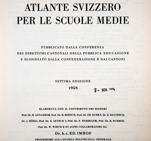
The first edition of the Swiss Atlas for Middle Schools was published in 1910. Therefore, the new edition published at the end of October 2010 is the Jubilee edition, and by the way, it is now called the Swiss World Atlas.
For the Jubilee edition, the atlas has been augmented with another Swiss invention: the World Wide Web. The interactive world atlas (D|F|I|E) is continuously updated with the latest statistical data, as today's pupils demand (only the German version is fully operational at this time, the translations being on their way).
In the download section, you can find the blank master copy maps used to teach geography in the Swiss schools. Can you label the map below? Hint: start from Lake Tahoe.

If you have a recent computer, you can also start a Java application that lets you display a set of maps which synchronize automatically when you pan in one of them. Finally, there is a 3-d representation of terrain over which you can fly.


No comments:
Post a Comment